
GNSS jamming and spoofing are two ways satellite navigation fails. Jamming blocks the signals and the receiver loses its position. Spoofing fakes them: the receiver reports a wrong position or time and often looks healthy while doing it. A drone, vehicle or machine keeps navigating through both only if it carries other sensors and checks every source against the rest.
What is the difference between jamming and spoofing?
GNSS (global navigation satellite systems such as GPS, Galileo, GLONASS and BeiDou) signals are very weak by the time they reach the ground. That makes them easy to disturb.
- Jamming transmits noise on the GNSS frequencies. The receiver can no longer track the satellites, the fix degrades or disappears, and the system at least knows something is wrong.
- Spoofing transmits signals that imitate real satellites. The receiver locks on to them and calculates a position or time chosen by whoever sends them. The fix can look normal: enough satellites, good accuracy figures, no warning.
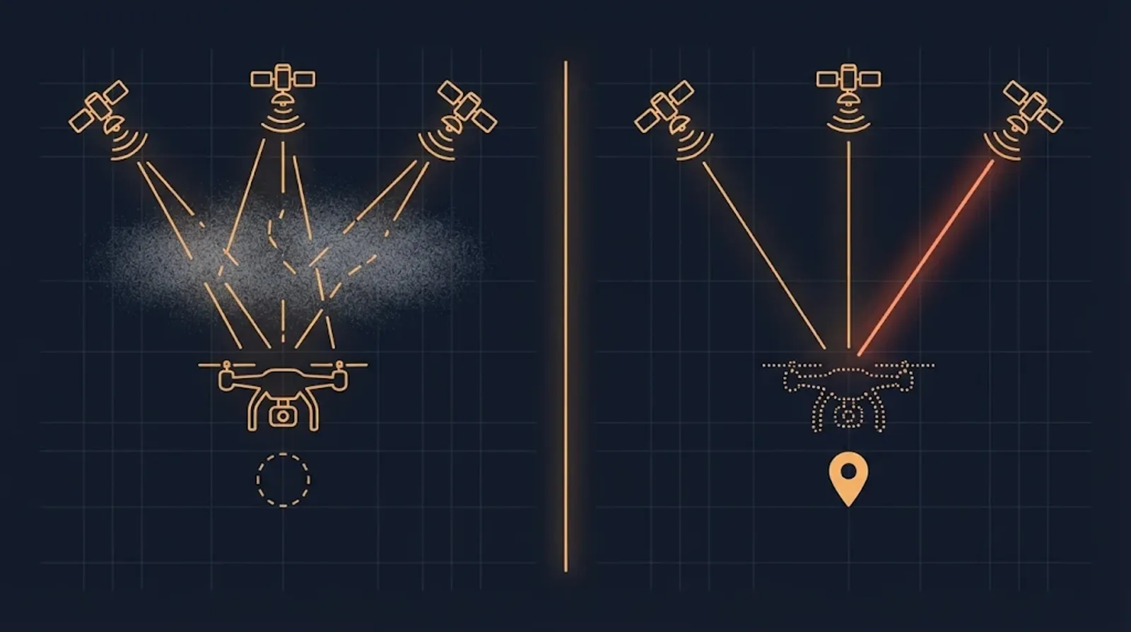
Jamming is the louder problem. Spoofing is the more dangerous one, because a system that trusts a false position acts on it with full confidence.
How common is GNSS interference now?
It has become a standing issue for aviation and shipping. EASA first issued its Safety Information Bulletin on GNSS outages in March 2022 and published the fourth revision, SIB 2022-02R4, on 3 July 2026, after analysing recent jamming and spoofing occurrences. EASA keeps a separate list of affected regions and updates it weekly.
In March 2025, ICAO, ITU and IMO, the UN agencies for aviation, telecommunications and shipping, issued a joint statement of grave concern. They asked states to protect satellite navigation from harmful interference, to make systems that depend on it more resilient and to keep conventional navigation aids as a fallback. In June 2025 EASA and IATA published a plan to reduce the risk to aviation, which also calls for preparing for evolving threats to drones.
The effect reaches beyond navigation. GNSS also supplies time to networks, power systems and data loggers. A spoofed clock can corrupt timestamps without moving anything on a map.
How does a receiver see interference?
Most receivers report enough to notice jamming: the signal-to-noise ratio drops on all satellites at once, the number of tracked satellites falls, and the fix degrades. Some recent receivers also flag jamming and spoofing directly.
Spoofing is harder to spot from inside the receiver. Signs include:
- Jumps in position or time that no real movement explains.
- Signal strengths that are suspiciously even across satellites, or stronger than real satellites can be.
- A position that disagrees with inertial data, odometry, a camera view or a known map.
- Time that disagrees with a stable local clock.
The last two are the strongest checks, and they need sensors outside the GNSS receiver. A receiver alone has nothing trustworthy to compare against.
What keeps a drone or machine navigating without satellites?
No single sensor replaces GNSS. A resilient system combines several sources with different weaknesses, fuses them and watches for disagreement.
| Source | What it gives | Main limit |
|---|---|---|
| Inertial measurement unit (IMU) | Short-term motion, at high rate, immune to radio interference | Drifts, faster with lower-cost sensors |
| Visual odometry or visual-inertial odometry | Position change from camera images | Needs texture and light, struggles over water, fog or uniform fields |
| Optical flow with a rangefinder | Ground speed at low altitude | Works best close to the ground |
| Map or terrain matching | Absolute position by comparing the view with a stored map | Needs a current map and processing on board |
| Wheel odometry, air data, compass | Speed and heading for vehicles and aircraft | Slip, wind, magnetic disturbance |
| Multi-constellation, multi-frequency GNSS | Harder to disturb on every signal at once | Still radio, still exposed |
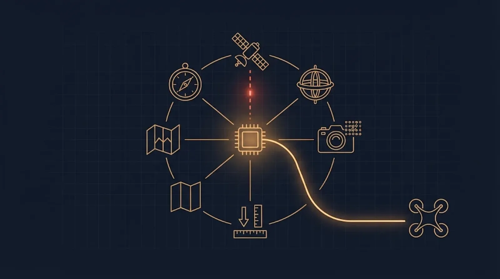
Autopilots support this today. PX4 has a dead-reckoning mode, still marked experimental in v1.17, in which its estimator stops using GNSS once it looks unreliable and carries on with other position or velocity sources such as optical flow or visual-inertial odometry. It still needs a reliable GNSS fix at boot. ArduPilot can take visual odometry from a camera processed on a companion computer and use it in place of GNSS for position-holding and return modes.
For uncrewed aircraft in the EU specific category, EUROCAE’s ED-301 guidance describes how operators can use multi-GNSS solutions to meet the GNSS robustness objective of a low-risk SORA assessment. Higher-risk operations need more assurance.
How does authentication help?
Galileo’s Open Service Navigation Message Authentication (OSNMA) was declared operational on 24 July 2025. It adds cryptographic data to the navigation message on the E1-B signal. With it, a receiver can check that the message really comes from Galileo. EUSPA states plainly that OSNMA makes spoofing significantly harder but does not prevent spoofing or jamming. The receiver needs OSNMA logic and Galileo’s public keys to use it.
Authentication is one layer. It works best alongside sensor checks.
What should the system do when GNSS cannot be trusted?
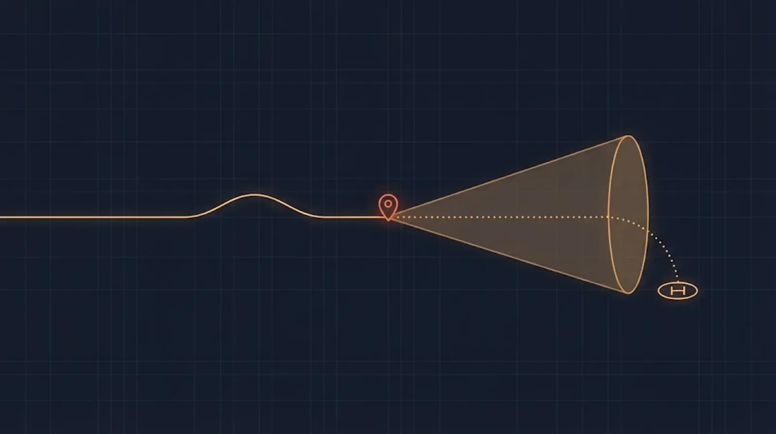
Detection is only useful if the system has a plan for what comes next. Decide it during design:
- Mark GNSS as untrusted and stop it from pulling the position estimate, instead of averaging a false fix with good data.
- Carry on with other sources for as long as their drift stays within the mission’s tolerance, and know that time in advance.
- Change the mission when that time runs out: hold, land at a safe point, return along a visual route or hand control to an operator.
- Log everything: raw GNSS data, the alarms and what the system decided. The logs explain the event afterwards and support a report to the authorities.
- Re-admit GNSS carefully once it passes the checks again, without a sudden jump in position.
How to test navigation resilience before the field
Interference is hard to test in the open: in most countries, transmitting on GNSS frequencies is prohibited outside authorised tests. Most of the work can be done on the bench:
- Replay and simulation. Feed the estimator recorded or simulated GNSS data with dropouts, drift and position jumps, and check that it rejects them.
- Hardware-in-the-loop. Run the same faults against the real autopilot and companion computer, as described in our post on hardware-in-the-loop testing.
- Signal simulators in a shielded room or approved range for the final checks of the receiver itself.
Questions to ask a supplier
- Which sensors does the system use when GNSS is unavailable, and how long does its position stay within the required accuracy?
- How does it detect spoofing, not only jamming?
- Does the receiver support several constellations and frequencies, and Galileo OSNMA?
- What does the system do, step by step, when it decides GNSS cannot be trusted?
- Which of these behaviours were tested, and how?
Perfsol’s onEDGE companion computer runs computer vision and sensor fusion on board, the processing that visual navigation needs when satellite positioning is unavailable. Our engineers work in Ukraine, where satellite-navigation jamming is part of daily life, and our verification work includes testing under radio interference and satellite-navigation disturbance.
Questions we are asked
What is the difference between GNSS jamming and spoofing?
Jamming blocks the satellite signals with noise, and the receiver loses its position. Spoofing replaces them with false signals. The receiver then calculates a wrong position or time and may not raise any alarm.
Can a drone fly without GPS?
Yes, for a time and with the right sensors. Inertial units, visual odometry, optical flow and rangefinders keep a position estimate going. That estimate drifts, and the drone needs a plan for how long it can trust that estimate and what to do next.
Does Galileo OSNMA stop spoofing?
It makes spoofing much harder by letting a receiver check that navigation messages really come from Galileo. It does not stop jamming, and a receiver must implement the OSNMA protocol to benefit.
Sources
- EASA updates Safety Information Bulletin on GNSS interference (SIB 2022-02R4, 3 July 2026), EASA
- Protect satellite navigation from interference, UN agencies urge (25 March 2025), ITU
- EASA and IATA outline comprehensive plan to mitigate GNSS interference risks (18 June 2025), EASA
- Galileo to be the first GNSS to offer authentication service worldwide with launch of OSNMA, EUSPA
- From Testing to Operations: Galileo OSNMA Service Now Available to Users, EUSPA
- GNSS-Degraded & Denied Flight (Dead-Reckoning Mode), PX4
- Luxonis OAK-D visual odometry for non-GPS navigation, ArduPilot
- ED-301: Guidelines for the use of multi-GNSS solutions for UAS specific category low-risk operations, EUROCAE
- Engineering autonomous and intelligent physical systems that sense, decide and act on their own, Indeema